
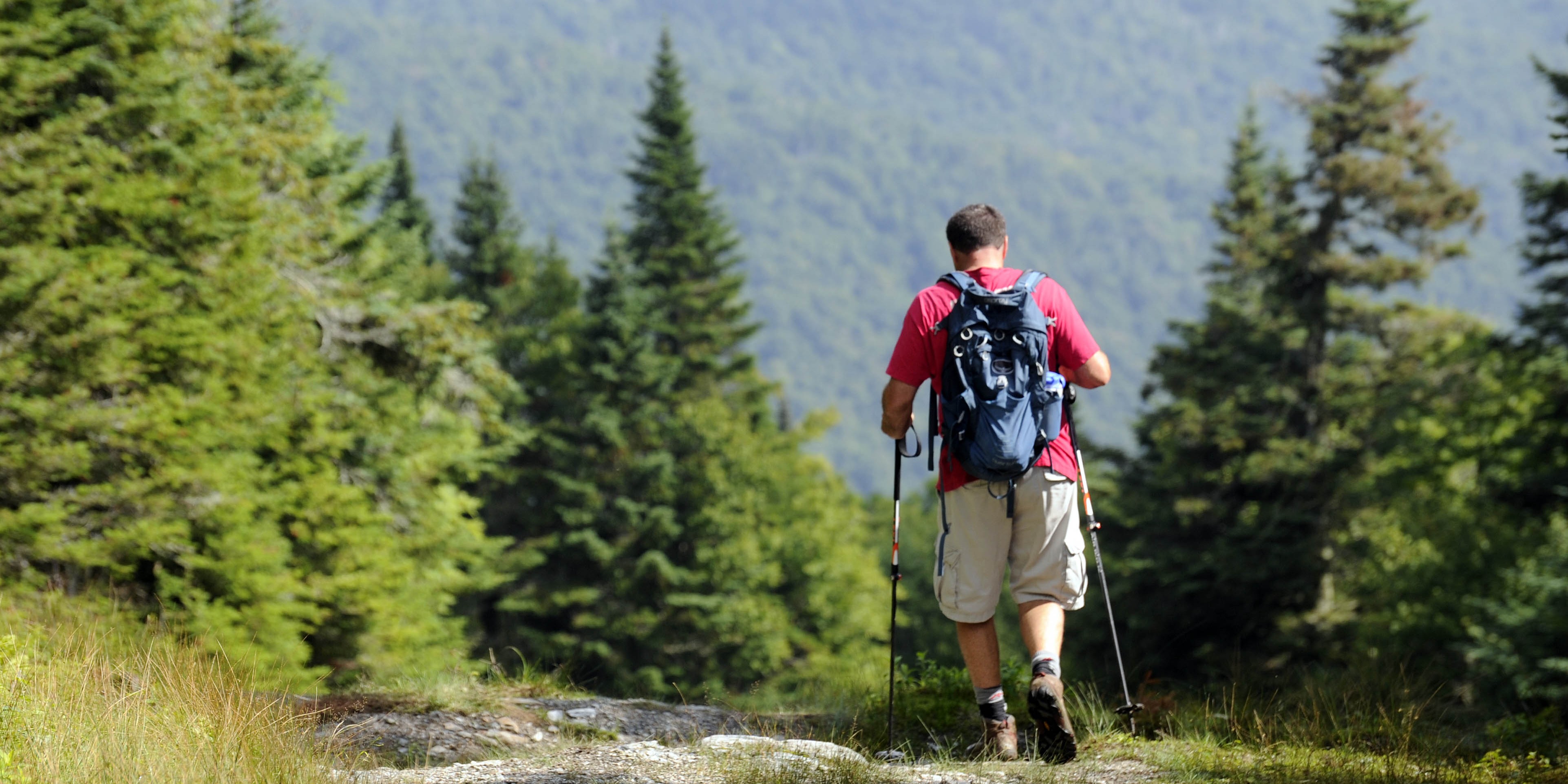
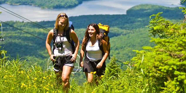
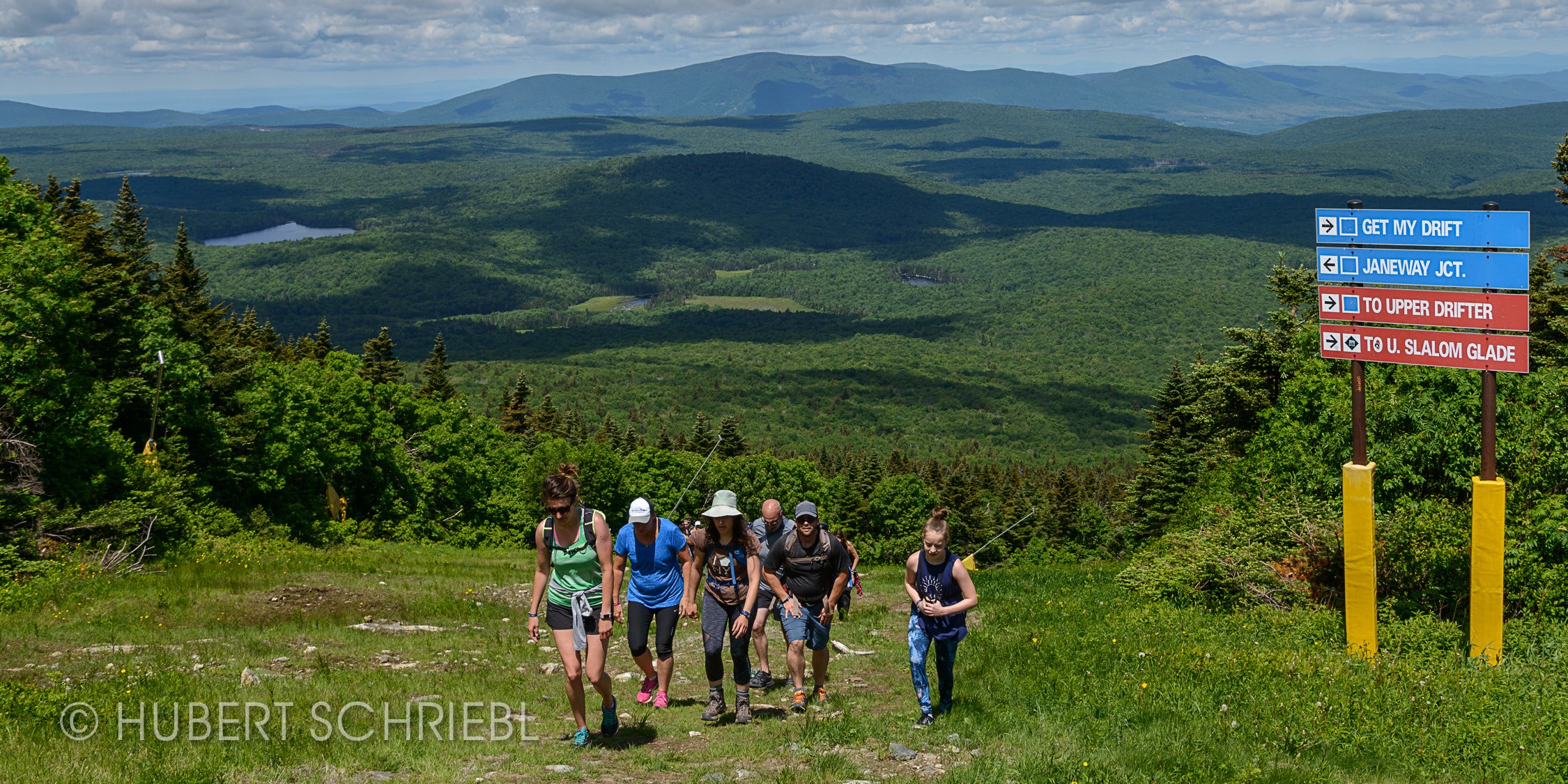
Vermont's hiking trails run the full range, from easy forest paths to serious climbs up the Green Mountains. You can spend an afternoon on a flat, shaded loop next to a lake, or work for a summit view that stretches across the whole state. Both are the point. Most member ski areas double as hiking destinations once the snow melts, with trail networks that stay maintained and marked well into fall. Pick your terrain based on the day you want to have, not just the mileage.
Bolton Valley sits at the highest base elevation of any Vermont ski area, and hikers feel the head start right away. Follow the work roads to small hikes with big views, or keep climbing until you connect with the Long Trail itself. The old fire tower rewards the climb with a 360-degree look at the Green Mountains, and two Green Mountain Club cabins, Bryant Camp and Bolton Cabin, sit within reach for hikers who want to make a night of it. Hiking is free, and food and a cold drink are waiting at the base when you come down.
There are designated dog-friendly trails.
At Bromley Mountain, the Long Trail and Appalachian Trail overlap for a nearly 6-mile hike right next to the resort's summer adventures, with year-round access. Plan for about 4 hours to reach the summit, where a shelter and basic privy wait alongside 360-degree views of Stratton Mountain, Okemo, Magic Mountain, and Killington. On a clear day, you can pick out Mount Washington in the distance. Bring the family. Views like this are worth sharing.
Burke Mountain's summit road makes for one of the more approachable hikes in the Northeast Kingdom, climbing steadily to a historic fire tower with 360-degree views of Willoughby Gap and the ridgelines beyond. Stop at the pavilion partway up for a picnic with the gap as your backdrop, or keep going and share the road with paragliders launching for the valley and mountain bikers dropping into the downhill trails. Burke sits right at the edge of the Kingdom Trails network too, so a hike here can turn into a full day of exploring on foot.
Cochran's is Vermont's only nonprofit ski area, owned and operated by the family that founded it in the 1960s and has since produced Olympic skiers. Its hiking and biking trails are modest in scale, matching the mountain itself, but they're mapped and maintained, with current trail status posted for anyone planning a visit. It's a good stop for hikers looking for a small-mountain experience with a story behind it.
Jay Peak's hiking trails run in color-coded loops, green, blue and black, so hikers can build a route to match their legs for the day. Numbered posts along the way match the trail map, making it easy to shorten or extend a hike on the fly. Hikers who prefer to skip the climb can ride the Aerial Tramway, the only one in Vermont, straight to the summit, while the Long Trail carries on north and south for those headed further. Trails run rocky and rugged in spots, so bring sturdy shoes, water and sunscreen.
At Killington, 15 miles of hiking trails mean hikers can take a different route up or down The Beast every time. Summit Vermont's second-tallest peak for 360-degree views of the Green Mountains, New York's Adirondacks, and New Hampshire's White Mountains. The Peak Lodge sits at the top, serving food and drinks to hikers and mountain bikers all summer. The K-1 Gondola, Vermont's highest-elevation lift, runs unlimited round-trip rides to the lodge with a summer pass.
At Mad River Glen, hikers can park free in the ski area lot and pick up the trail at the kiosk near the Basebox to start up General Stark Mountain. The Stark Mountain Trail follows a wide work road under the Single Chair, passing a waterfall on the way to a 2.5-mile summit at 2,036 feet in elevation gain, where it meets the Long Trail and Stark's Nest. The Bunny Trail offers a steeper, shorter alternative that rejoins the main route below the Single Chair mid-station.
From the summit, the Sunnyside Trail runs a short 0.4 miles to the Sunnyside Double Lift, while the Long Trail continues south from Appalachian Gap over the top of the Single Chair, connecting to routes toward Mount Ellen and Lincoln Gap for hikers who want to go further. The Jerusalem Trail branches off the Long Trail past Stark Mountain's unmarked 3,661-foot summit and descends to a trailhead parking area in Jerusalem.
At Magic Mountain, two marked hiking trails wind through the glades, alongside access to the resort's open trail system. Trails run to the summit on both the east and west sides. For a shorter climb, the Sunshine Corner picnic spot sits at the top of the Green lift, about halfway up the mountain, with strong views back down the valley. The Black Line Tavern stays open for food and drinks through much of the summer, a solid reward after the climb.
Whether you're hiking Mount Snow itself, Dover's network of trails, or one of six state parks in southern Vermont, there's a hiking trail close by no matter where you start. Mount Snow offers many different routes up the mountain, so you can pick the one that fits your day. Hike up to The Bullwheel restaurant at the summit for lunch and a cold drink on the deck, then give your legs a break and ride the Bluebird Express chairlift back down.
At Okemo, on-mountain trails like Bear Climb and Moose Trek give you an easy way to get outside without leaving the resort. For something longer, the Healdville Trail climbs to the summit of Okemo Mountain, where a historic fire tower delivers 360-degree views stretching to the Adirondacks, the Whites, and neighboring Vermont peaks. Extend the hike with a detour to Summit Lodge, open all summer with milkshakes worth the extra half mile. Pick the route that matches the day you've got, from a short loop near the base to a full afternoon on the mountain.
Local summits including Mount Peg, Mount Tom, and Saskadena Six offer views across the Woodstock area. From the Woodstock Inn & Resort, choose from more than 60 miles of interconnected trails and pathways winding through the village, nearby meadows and woodlands, and the surrounding countryside. For a look at Woodstock's history, the 20-plus miles of colonial carriage roads through the Marsh-Billings-Rockefeller National Historical Park make for a scenic walk through the past.
Smugglers' Notch offers guided hikes, wikes, and walks sorted by difficulty and length, along with a handful of self-guided routes right on property. The Maple Walk winds through sugar maples with signage on the sugaring process, while the Bear Walk covers black bear habitat and what to look for in the wild. Rum Runners' Trail leads to the snowmaking reservoir on Morse Mountain, and Bootleggers' Basin follows the trail network past the disc golf course to another scenic reservoir. Off property, the Smugglers' Notch trail network connects to Morse, Madonna, and Sterling Mountains for hikers who want to go further into the Green Mountains.
At Stowe Mountain Resort and Spruce Peak, the trail network covers everything from an easy walk to a serious climb up Vermont's highest peak.
Several well-known Vermont day hikes start right from the base area or nearby. Sterling Pond Trail and the Haselton Trail suit most ability levels, while the Mansfield ridgeline from the top of the Toll Road and the Cliff Trail from the Mansfield Gondola climb higher and demand more from hikers.
The Spruce Peak Community Pathways wind around the village over timber bridges and rough-hewn stairways, smooth enough for an easy walk but leading into quiet forest under a canopy of spruce, hardwood, and hemlock.
The Long Trail, the oldest long-distance footpath in the country, climbs Mount Mansfield from just minutes outside the base area. The route runs steep and rocky in places, with hiking cabins and open overlooks along the way, and reaches the alpine zone at the summit with views of Lake Champlain, the White Mountains, and the Adirondacks.
The Cliff Trail is advanced and strenuous, following an exposed route with iron rungs and rock gaps. Hikers taking it on should stay on the marked trail, check weather and daylight before heading out, and wear sturdy hiking shoes.
Mount Mansfield's summit sits at 4,395 feet and holds one of Vermont's few alpine tundra zones. The plants there are rare and easily damaged, so stick to rocks at the summit, skip camping and fires, and keep dogs leashed.
The Green Mountain Club's Barnes Camp Visitor Center, just past the resort's main entrance on Route 108, is staffed most weekends in summer and fall and is a solid stop for trail information before heading out.
At Stratton Mountain, the Long Trail and Appalachian Trail share a route over the summit, the same spot that helped inspire both trails' creation. Routes range from a short beginner loop off the base to advanced ascents that gain real elevation, so the mountain works whether you want an hour outside or a full climb.
The .75 mile trail from the gondola terminal to the historic fire tower is one of the most popular routes, easy enough for most hikers and rewarded with a view across four states. For something longer, the Black Bear Ascent climbs about 2.1 miles from the base and delivers valley views along the way, with plenty of spots to catch your breath and eat lunch at the top.
Beyond the resort, several nearby hikes make good day trips: the West River Trail for an easy walk along the water, Lowell Lake State Park for a flat loop past a Revolutionary War-era cemetery, and Prospect Rock Trail near Manchester for a steady climb to a broad valley view.
Before heading out, bring sturdy footwear, water, sunscreen, and a layer for changing mountain weather, and grab a hiking map at the base. Downhill mountain bike trails are closed to hikers.
At Sugarbush, hiking trails at Lincoln Peak are free and open to the public daily, with routes ranging from easy loops near the base to a full climb to the summit. The Lollipop Loop covers just over a mile with a hundred feet of gain, a good fit for families or a quick walk. From there, trails build in length and elevation: the Sleeper Road to Castle Rock Runout Loop and Gatehouse Woods Loop both run around three miles with valley views along the way, while Lower Jester to Allyn's Lodge climbs 1,600 feet over two miles to reach the lodge itself.
For the full climb, the trail from Allyn's Lodge to the top of Heaven's Gate reaches an observation deck with 360-degree views and a connection to the Long Trail. Castle Rock Summit is the longest and steepest route on the mountain, gaining 2,300 feet over roughly six miles round trip to the Castlerock Hut. Download the trail map before heading out, and stay clear of active mountain operations and any construction zones.
The All Mountain Mamas share their tips and tricks for tackling hikes with kiddos in tow.
